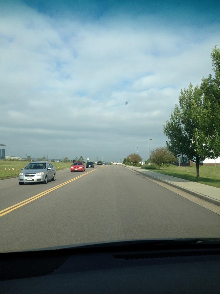
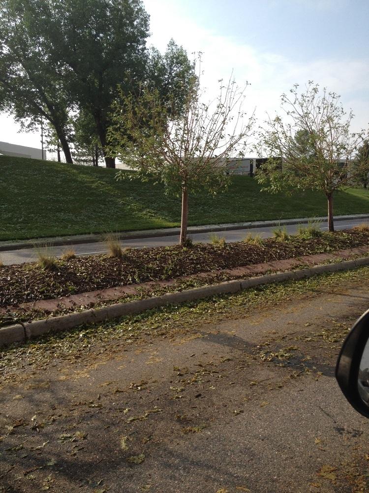
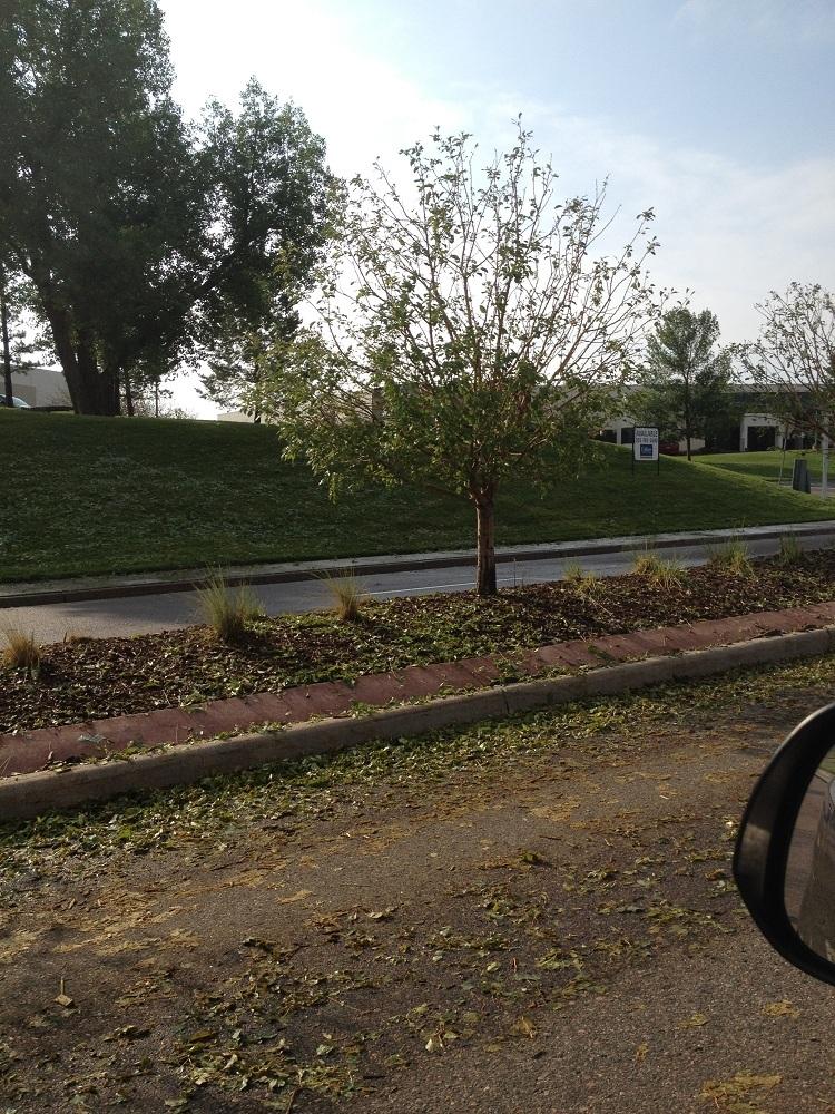
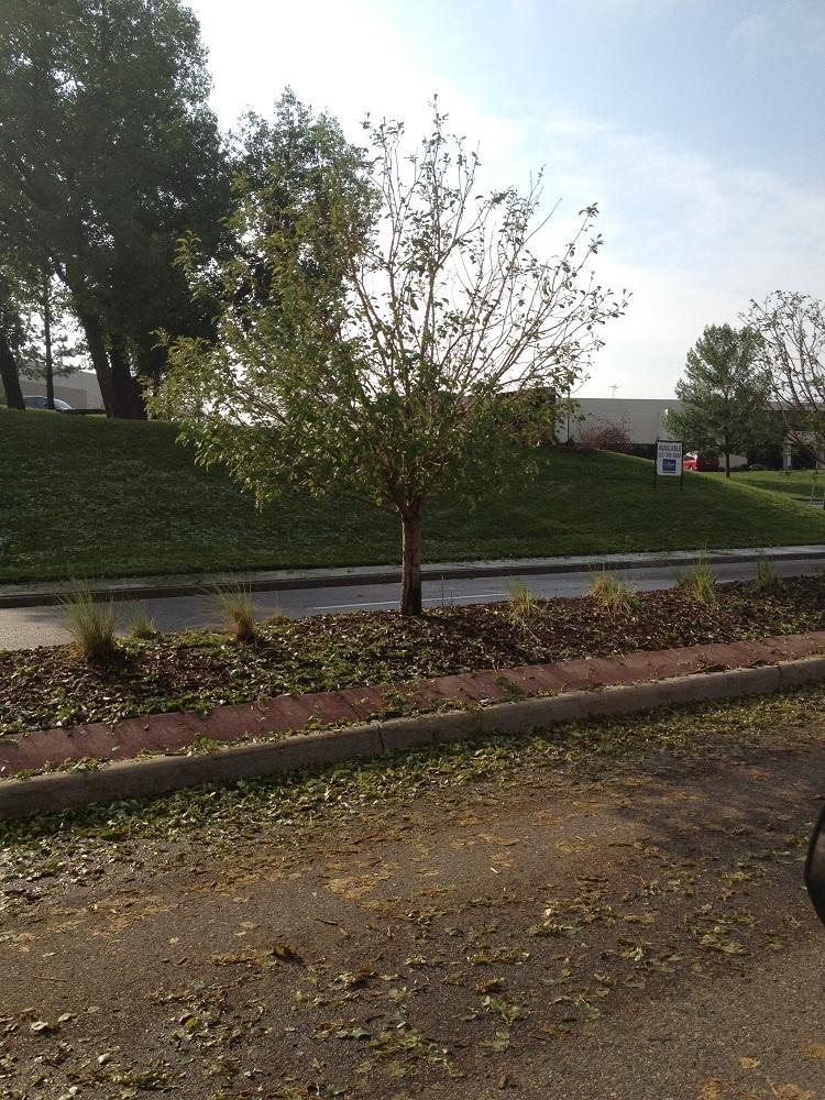
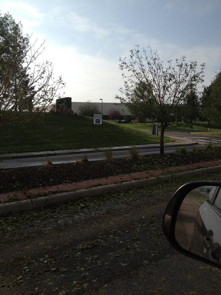
Looks like we're going to be in for Round 2 tonight. Wheeeeeee...
http://www.denverpost.com/brea...
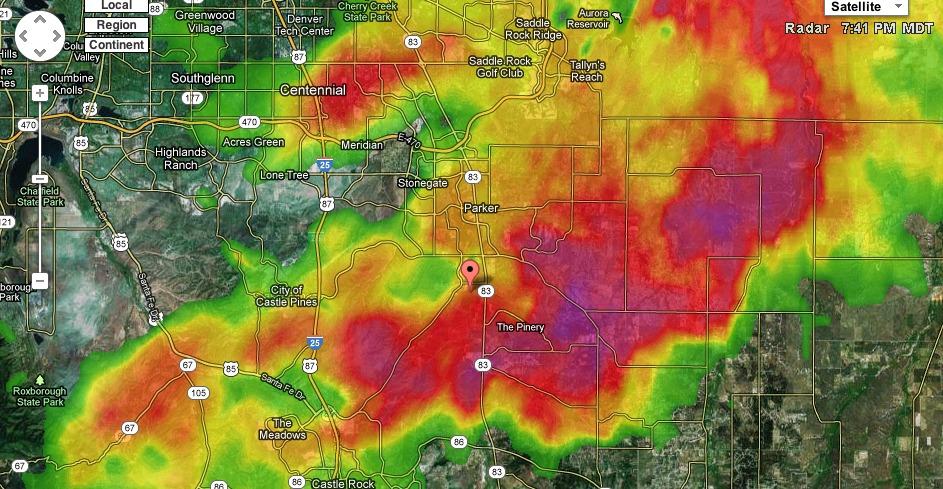
Wild weather is back in the forecast today for Denver and the Front Range, with severe thunderstorms, hail, strong winds and flooding possible.
Scattered thunderstorms will develop this afternoon, according to the National Weather Service. The storms are expected to continue into the evening and overnight, especially on the Eastern Plains.
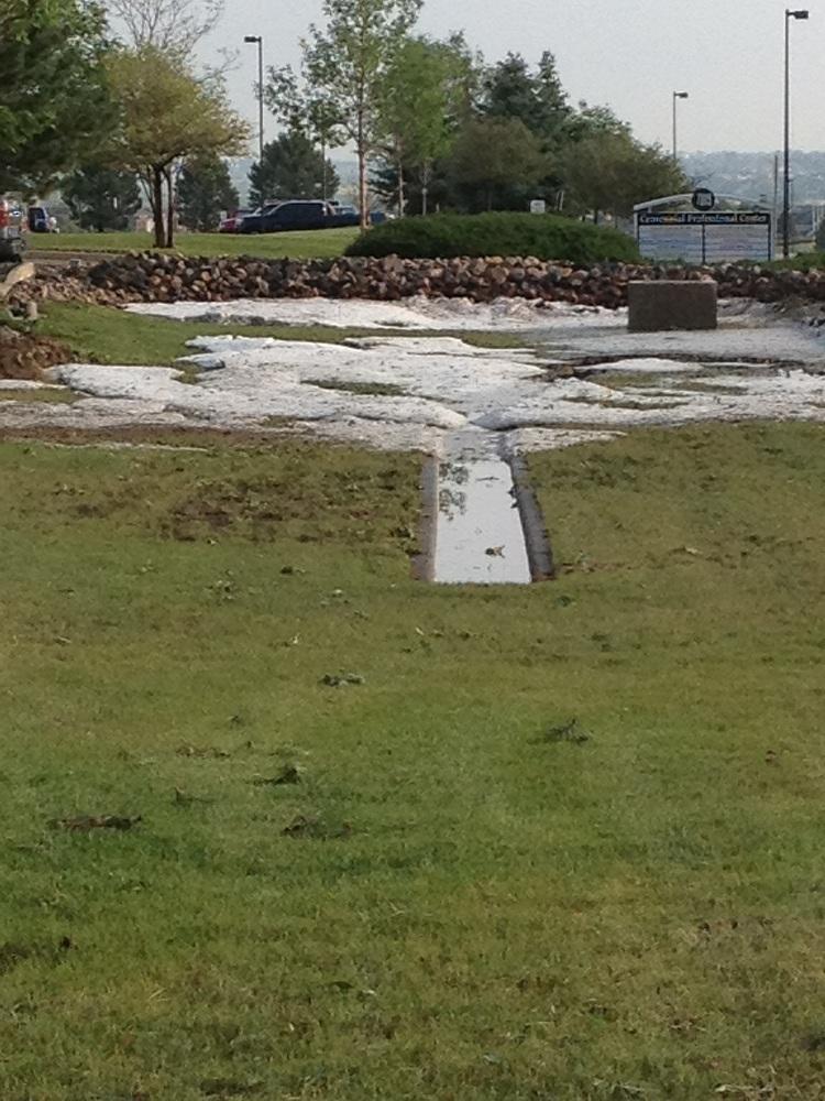
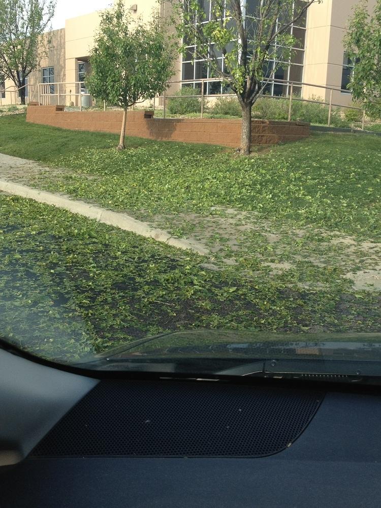
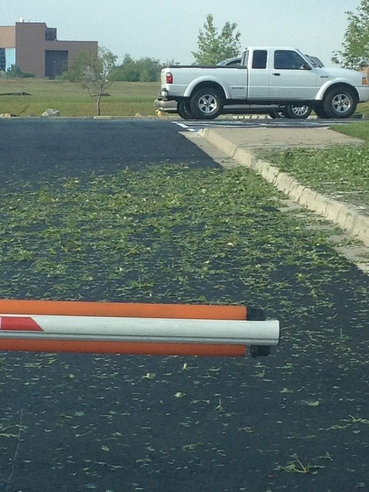
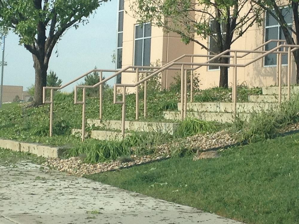
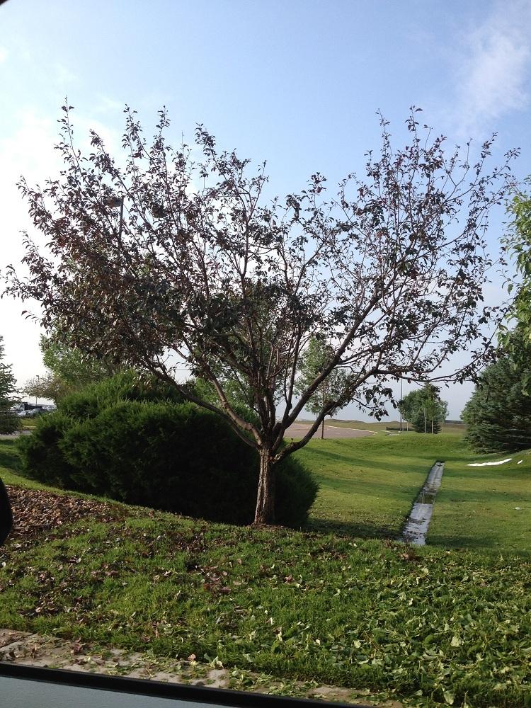
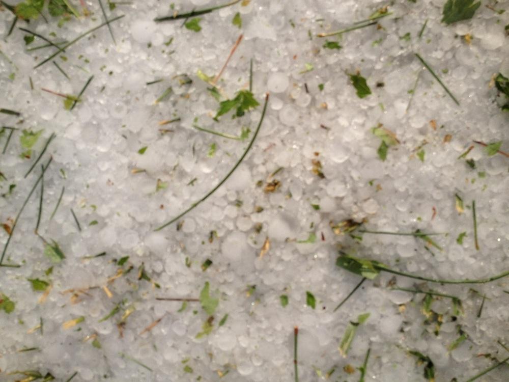
Hail up to 2-inches in diameter and winds up to 70 mph are in the forecast for northeastern Colorado where "a couple of weak tornadoes will also be possible," according to the weather service.
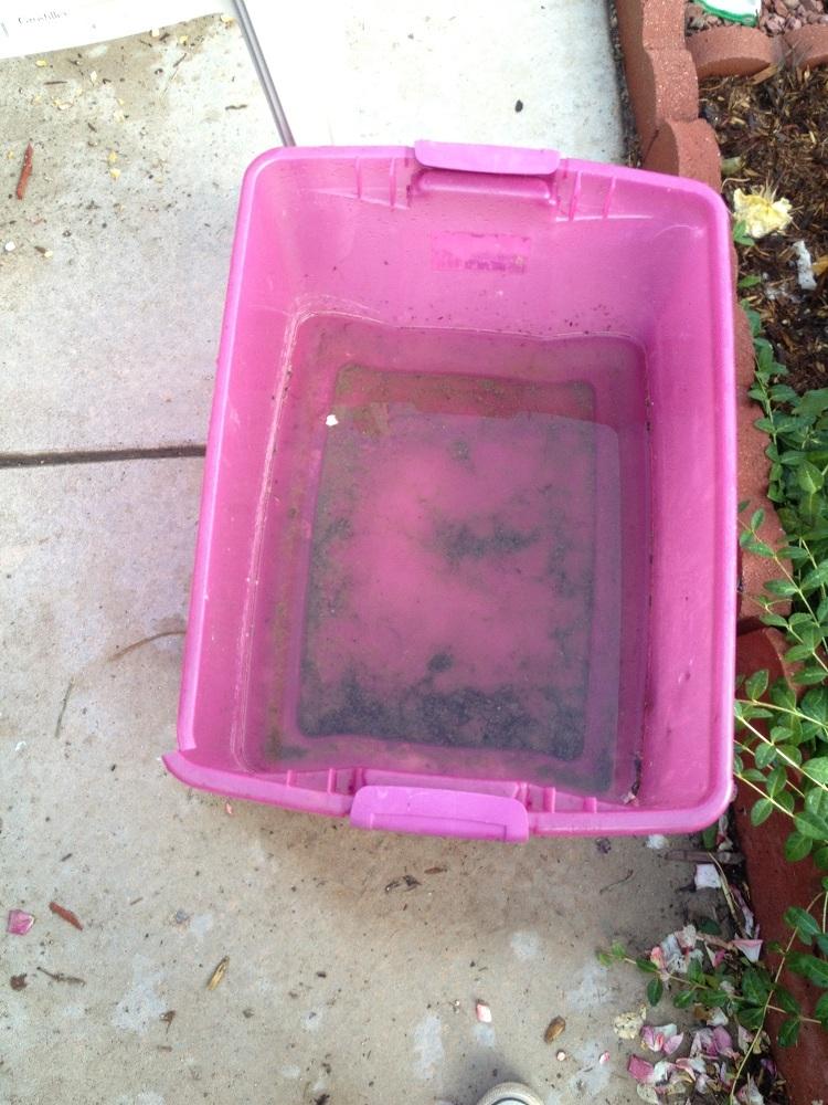
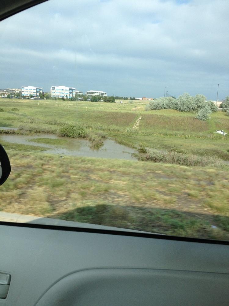
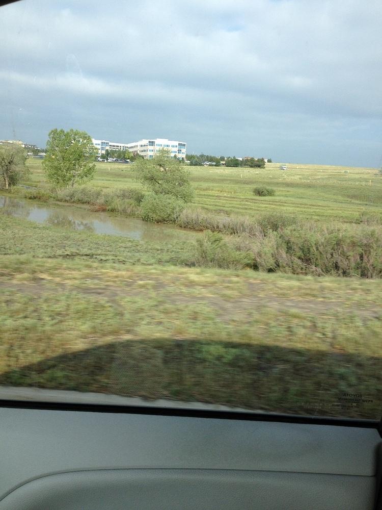
Heavy rains will likely be unleashed this afternoon, possibly producing floods and flash flooding.
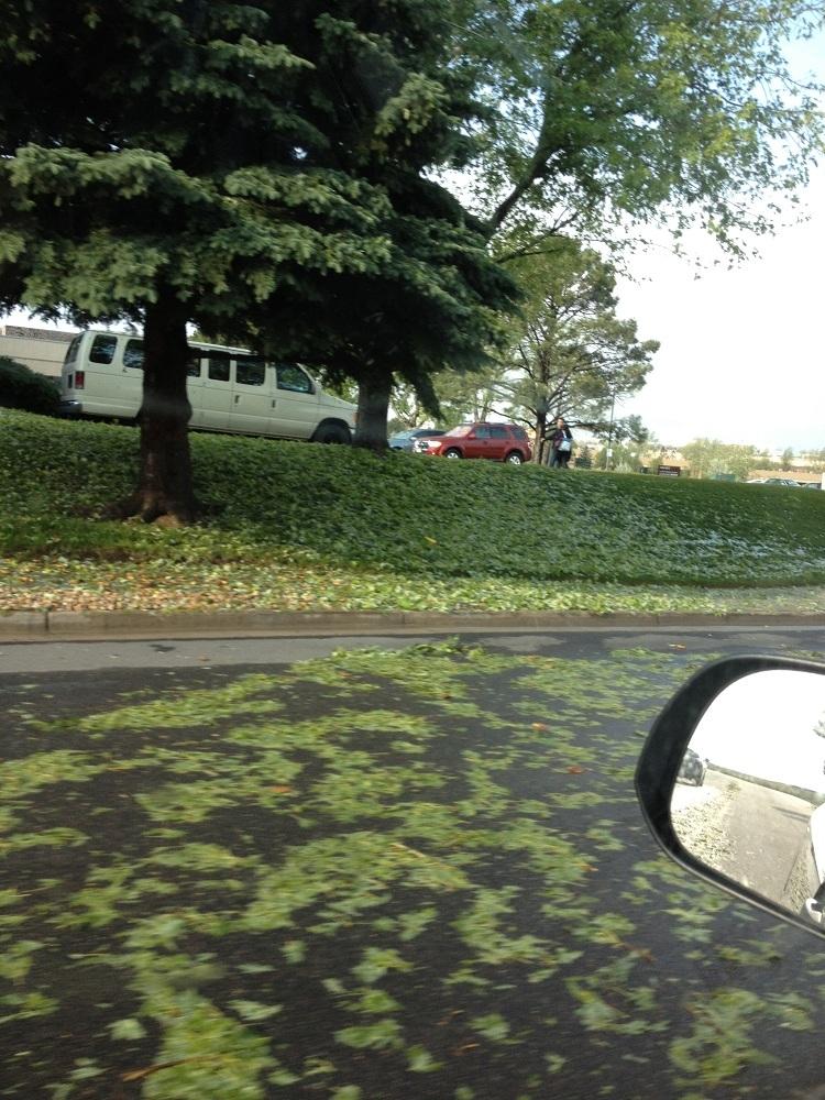
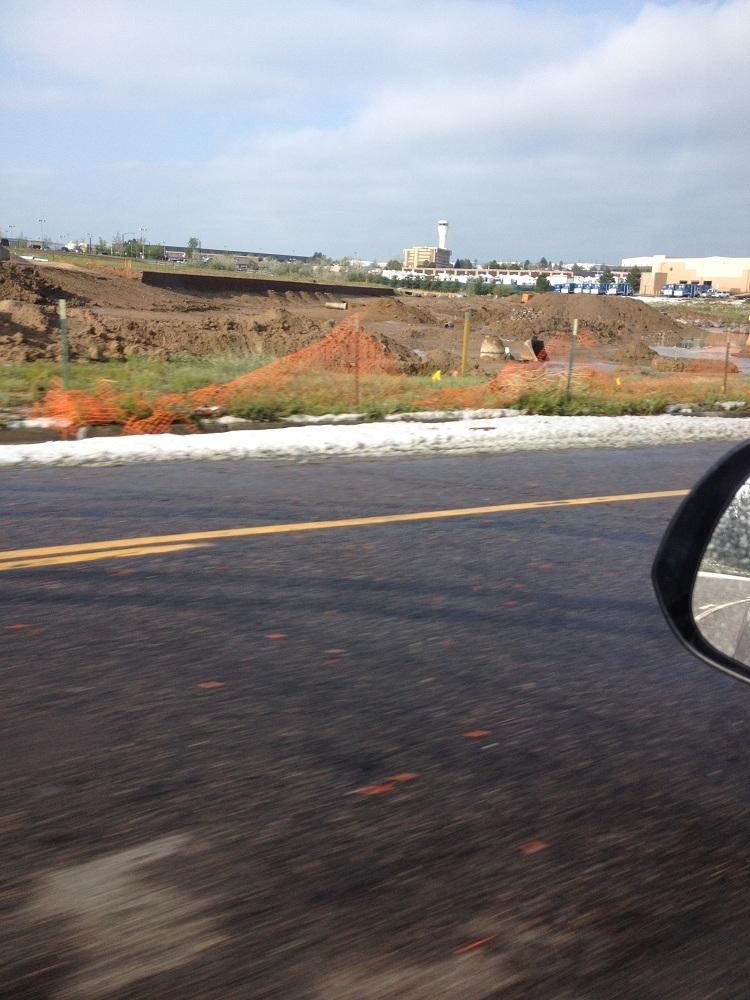
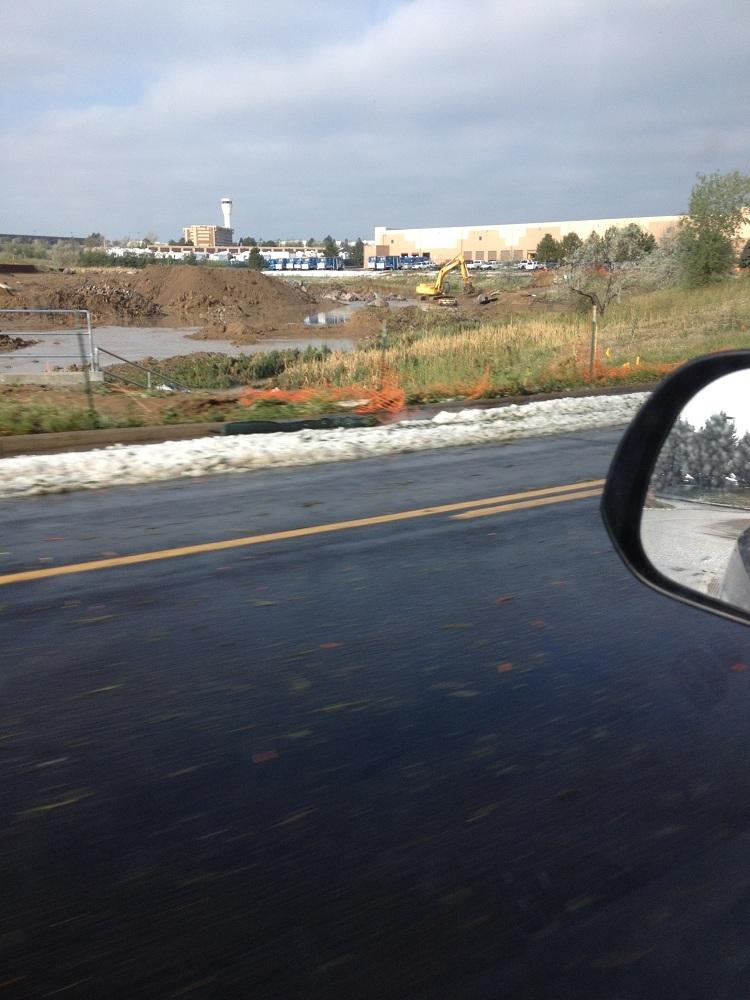
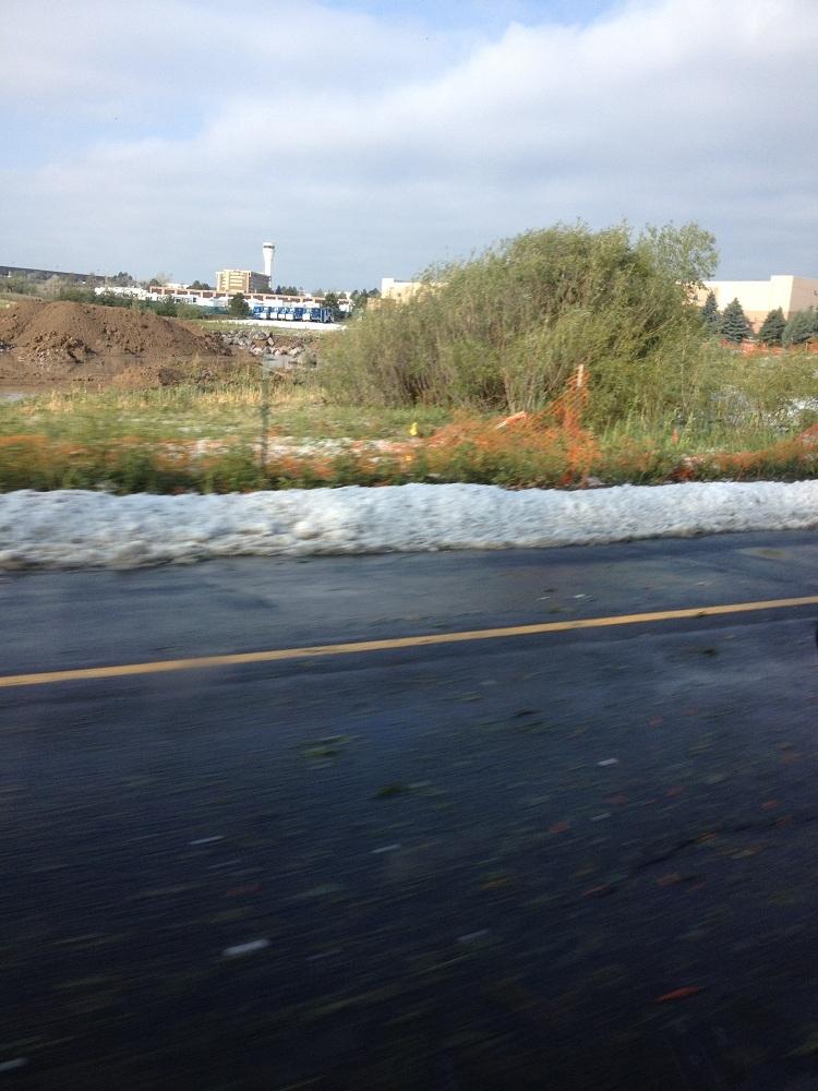
Flooding will be possible in the south metro area and along the Palmer Divide where grounds are already saturated from Wednesday's storm, the weather service reports.
A flash flood watch has been posted from 3 p.m. through this evening for widespread areas of northeast Colorado including Castle Rock and the Denver metro area. Some areas today could get 2-inches of rain in less than an hour.
Rivers may rise quickly this afternoon and dirt roads could be washed out by heavy rains, the weather service warns.
In Denver today, scattered showers and thunderstorms should start after 2 p.m. The high temperature in the city should top out at about 84 degrees and the chance for precipitation is 40 percent.
Showers and thunderstorms, some severe, should stick around through the night and Denver's low temperature should be about 57 degrees.
On Friday in Denver skies should be mostly sunny, but the city stands a small chance — 10 percent — of showers or a thunderstorm in the afternoon. High temperature in the city on Friday should top out at about 91 degrees.